Long Beach To Close Several Streets To Cars In Effort To Make Them More Pedestrian Friendly
LONG BEACH (CBSLA) – The city of Long Beach is moving forward with a plan to close some streets to vehicle traffic and open them to pedestrians.
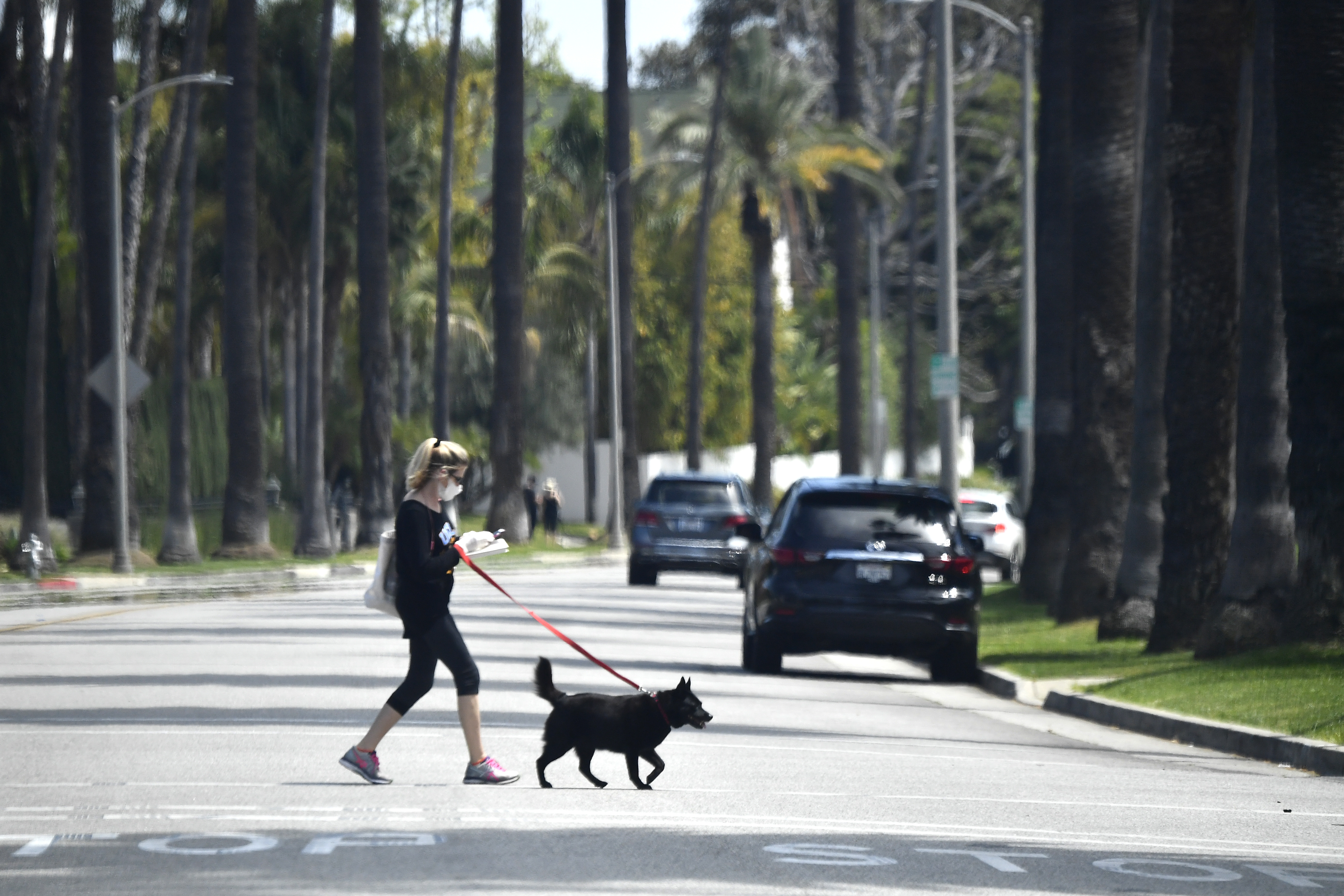
The Open Streets Initiative will close several roads to cars during specific hours, but will keep them open for walking and biking. The initiative was approved Tuesday by the Long Beach City Council and will take shape in the coming weeks.
Last month, the city of Los Angeles approved the same pedestrian-only street closures to a few neighborhoods in West L.A. Its an issue which had been under consideration for some time.
The idea is to encourage social distancing in the coronavirus era, as well as give businesses, such as restaurants, more space to take advantage of options such as outdoor dining.
"Long Beach is reopening our economy and we are committed to helping businesses do so safely by offering additional space outdoors," Mayor Robert Garcia said in a statement Wednesday.
The motion recommends that the closures run from 9 a.m. to 5 p.m., but gives each district discretion over exactly how to apply them.
The closures will run through Oct. 31. The vehicle ban will not apply to residents on those streets.
Under the plan, the following streets would be closed to vehicle traffic:
District 1:
- The Promenade North from East 3rd Street to East 5th Street
- East 4th Street to Long Beach Boulevard
District 2:
- Florida Street from Orange Avenue to Junipero Avenue
- Linden Avenue from 1 st Street to Ocean Boulevard
District 3:
- Raycroft Avenue north of 2nd Street
District 4:
- Molino Avenue from 10th Street to 15th Street
- 11th Street from Junipero Avenue to St. Louis Avenue
- 23rd Street from Lakewood Boulevard to Clark Avenue
District 5:
- San Anseline Avenue from Spring Street to Parkcrest Street
- Karen Avenue from Sprinq Street to Parkcrest Street
- Julian Avenue from Tarma Street to Ring Street
- Charlemaqne Avenue from Sprinq Street to Parkcrest Street
- Stevely Avenue from Sprinq Street to Parkcrest Street
- Lama Avenue from Marna Avenue to East Rosina Street
- Fela Avenue between East Tarma Street and East Ring Street
- Lilly Avenue from North El Dorado Drive north
District 6:
- Pine Avenue from Pacific Coast Highway to Willow
District 7:
- DeForest Avenue between Spring Street and Hill Street
- Linden Avenue between 36th Street and Bixby Road
- 37th Street west of Atlantic Avenue to alley
District 8:
- Cartagena Avenue east of Atlantic Avenue to alley
- Claiborne Drive east of Atlantic to alley
- Plymouth Street west of Lonq Beach Boulevard to alley
- Platt Street from Lonq Beach Boulevard to Cedar Avenue
- Pacific Avenue from Bixby Road to Country Club Drive
District 9:
- Hardinq Street from Atlantic Avenue to Orange Avenue
- Obispo Avenue from South Street to 70th Street