White House-Backed Technology Aids Geomapping In California's Public Schools
") (Photo Credit: Thinkstock)
(Photo Credit: Thinkstock)
This article is presented in partnership with CA Lottery.
![]()
It's a cliche that the world seems to be getting smaller all the time. This may be true, yet gaps between countries, cultures and neighboring communities continue to transcend that cliche with the differences between us feeling, at times, insurmountable. As overwhelming as the desire to understand others may seem, those hoping to do so just got an ally. A geospatial technology is now available in schools that has the power to enrich our knowledge of others by examining, in great detail, every aspect of others' worlds.
![]()
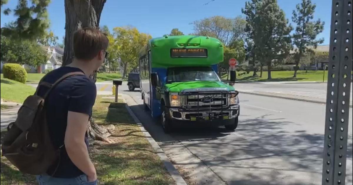
The White House ConnectEd Initiative
In 2013, President Obama launched ConnectEd, an initiative geared toward the technological enrichment of K-12 education combined with tangible, skill-centric support for educators. Esri, a technological giant working largely with governmental agencies, was determined to further its mission -- enabling people to positively impact the future through a deeper geographic understanding. With this in mind, it made a $1 billion software pledge to the White House's ConnectEd Initiative.
The pledge supported the launch of multiple, powerful school projects generated by students, using the sophisticated ArcGIS Mapping Platform. The platform enables students to make, use and share maps, providing in granular detail, information about all aspects of life within a specific area from economics to bird migration.
"The ArcGIS Mapping Platform allows any school in the U.S. to map and analyze data with the same powerful tools used by government agencies. Just as thousands of professionals apply geographic analysis to solve problems, so too can students apply geography in their education on almost any topic, from any device, turning them into critical thinkers and savvy problem solvers," says Charlie Fitzpatrick, Esri's school program manager.
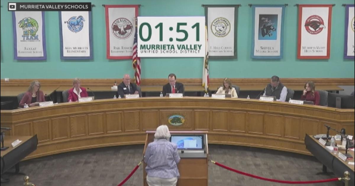
The technology has been embraced in California's public school system and is used throughout a variety of classrooms, as varied as history, social science and English.
![]()
Using Geography As A Broad-Based Tool
"I use ArcGIS Mapping to do cool, left-of-center stuff in the classroom," says Mathew Cowan, an English language arts teacher at Yucaipa High School. It's a small, diverse public school where around 50 percent of the kids are eligible for free or reduced lunch.
Cowan, whose Master's Degree in Spatial Literacy required in-depth knowledge and acuity in geographic information systems (GIS), started teaching five years ago and was keen on passing these skills on to his students.
"We use mapping as part of the inquiry and writing process," Cowan remarks. "At first glance, it might seem odd to use a geography tool in an English class, but it allows the students a deeper level of understanding by being geography detectives. We ask questions like, 'Did they have quality access to health care in the Ottoman Empire?' The students look at data layers and GIS mapping, and analyze ancillary documents, multimedia clips and non-fiction texts to come up with a plan or solution based on what they are mapping."
Cowan created a unit called "Is Yucaipa a Teen-Friendly City to Grow Up In," and through mapping, his students looked at all aspects of life in their own town including recreational facilities, retail, housing and food. They map these, put them in document format, and analyze their own local area in contrast to other cities. This enables the students to come up with conclusions and substantiations they can then present as a group.
"I'm incorporating the argumentative essay in class by using GIS as an evidence-based tool, as well as a platform for public speaking, writing, arguments and counter arguments," Cowan explains.
![]()
Making History Real While Bringing Kids Together
Donna Tlachac, a technical education teacher, uses ArcGIS to teach history, social science, graphic design, digital arts and web publishing at Rancho Buena Vista High School.
"As a themed, service-learning project, my high school students are investigating the namesake of our school. They are focusing on geo-historical elements including the waterways, ranches and missions of our historical past by gathering information and using GIS to map different aspects of our historic and current community," says Tlachac. She has also brought geographic mapping to young elementary school students as part of an after-school enrichment program.
"My high school and elementary school students will be partnering together on ongoing projects and a field trip to two historic adobes in our town this spring," says Tlachac. "All of this activity is the result of our work with the ArcGIS technology."
Since the program's launch at the White House on May 27, 2014, more than 1,000 schools have grown their geographic programs through Esri's ConnectED pledge.![]()
Corey Whelan is a freelance writer in New York. Her work can be found at Examiner.com.![]()
![]()