Another Round Of Rain Drenches Southland
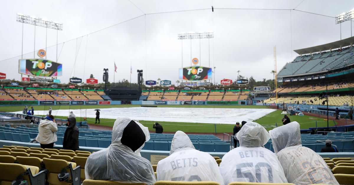
LOS ANGELES (CBSLA) – After seeing its first rain in weeks on Tuesday, a second fast-moving storm front was moving through the Southland Wednesday night and Thursday morning, bringing more bands of rain to the valleys, as well as snow to the mountains.
"I guess we can enjoy a little of this weather," said Cindy Palma, a resident. "It's already December so it was bound to happen. But do we like it? No!"
Light rain began fall around 2 a.m. in several areas including Hollywood, Studio City and Pasadena. Morning commuters were advised to be prepared for slick roads. Rainfall amounts were expected to be light, with forecasters predicting a quarter-inch or less in most areas, although up to a half-inch is possible in the eastern San Gabriel Mountains.
"This is a colder system than the one that we saw earlier in the week," CBS2 Meteorologist Amber Lee said.
The front was expected to work its way into Ventura County by 10 a.m., and L.A. County by noon. It will arrive in Orange County by 2 p.m.
"We will then begin to dry out as we head into Friday," Lee said.
Mountain areas above 6,000 feet could get 2 to 4 inches of snow, with some accumulation also possible on some slopes down to about 4,500 feet. Forecasters said there's a possibility of some "dusting" on the 5 Freeway in the far northern reaches of L.A. County.
"Light rain (is) likely to begin in most areas before sunrise and continue through the morning, but tapering off from the northwest by late morning," according to the National Weather Service. "By noon, the rain will be done in most areas with the exception of southeast LA County and possibly the far interior mountain slopes near the Kern County line."
When the rain lets up, the wind will follow, with wind gusts of up to 30 miles per hour in parts of Los Angeles and Ventura counties.
"We definitely need more rain since we're in the crazy drought that we're in," said Tim McLoughlin, a resident of Sherman Oaks.
Conditions will remain dry over the weekend, but another storm system is anticipated to begin Monday and stretch into Wednesday.
"Rain is certain, and the potential for widespread moderate to heavy rain is likely along with associated flooding concerns possible for recent burn areas, especially on Tuesday afternoon when the most intense rain is possible," according to the NWS.
(© Copyright 2021 CBS Broadcasting Inc. All Rights Reserved. City News Service contributed to this report.)