Powerful Storm Brings Downpours To Southland That Could Cause Flash Floods, Mudslides
MONROVIA (CBSLA) — Power outages, flooding and debris flows are all in play when a powerful storm descends on the Southland Thursday and Friday, forecasters say.
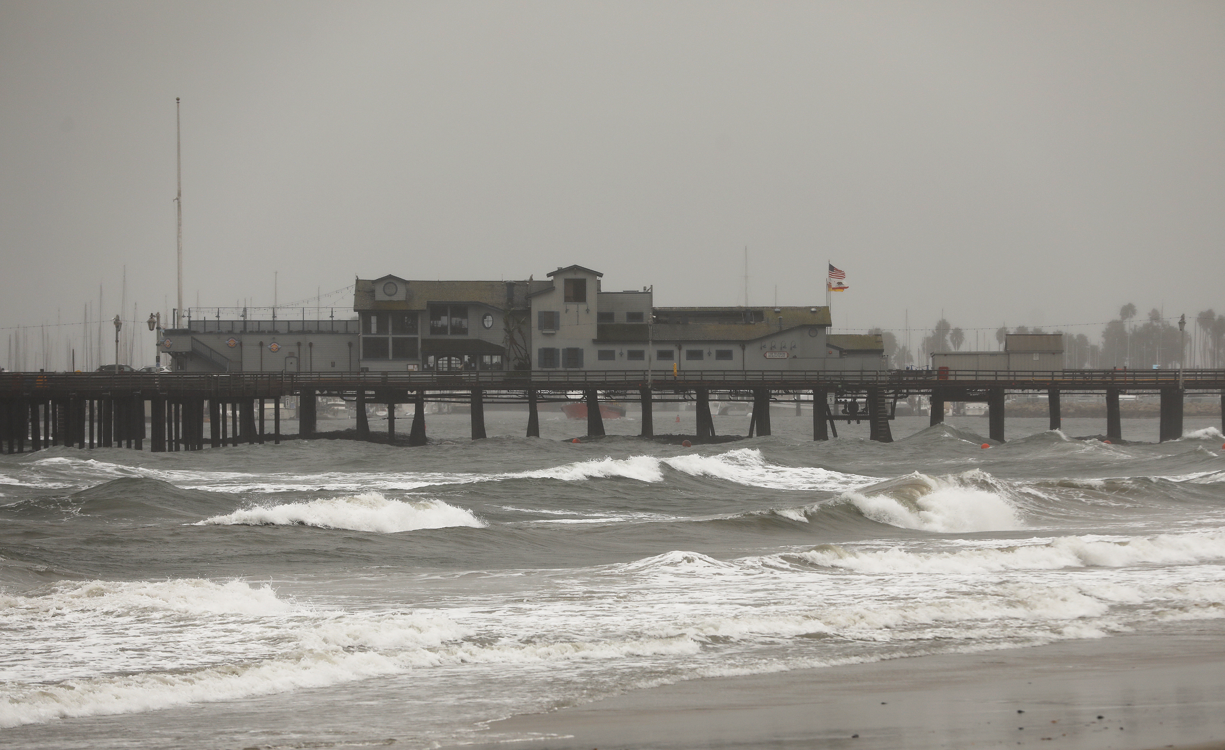
Up to 3.5 inches of rain are possible in the valleys, and up to 3 feet of snow are likely in the mountains when the storm hits the Southland in full force, beginning Thursday afternoon and continuing into Friday morning.
The storm was hovering over San Luis Obispo and Santa Barbara counties early in the day — bringing those areas a steady rain and strong wind gusts — but shifted south into Ventura and L.A. counties by early evening.
"It's kind of scary," one man in Ventura said. "I saw a couple of cars that were overturned on the shoulder. You gotta be careful out there."
The National Weather Service has warned that recent wildfire burn areas -- such as the Bobcat Fire burn area near Monrovia and last September's El Dorado Fire near Yucaipa -- are particularly vulnerable and could see dangerous mudslides because of loose and unstable hillsides scorched by the wildfires.
"We've got a big slope here, so it's hard to say how hard and fast things can happen if there's a problem," Monrovia homeowner David Hasenauer told CBSLA Wednesday.
RELATED: Long Beach Diners Brave Storm To Take Advantage Of Outdoor Dining Offerings
The Ranch 2 Fire burn scar hangs directly above the Mountain Cove community in Azusa. City leaders tell CBSLA that Thursday's storm will be the first real test of how much damage they suffered since the arson-sparked fire burned more than 3,050 acres back in August.
Local and federal officials worked with the private hillside community to install protective K-Rails. For months, L.A. County Public Works crews have focused on clearing catch basins and making other improvements based on map studies of how debris might flow during heavy rains.
Public works crews also added a drainage pipe to help divert high waters in Monrovia in the Bobcat Fire burn scar. Tractors and other debris removal equipment are being pre-deployed before the storm, with patrols watching for anything that starts to slide.
"It's concerning because we know a lot of property damage can happen," Ronnie Womack, a Monrovia resident, said. "Especially this time of year, after the burns, all the fires we had, and we get a big, heavy rain come in, you know you're gonna have flooding."
Residents in Lake Hughes, site of the Lake Fire last September, were being warned to prepare for possible evacuations.
"As the storm shifts south later today and tonight, heavy rain is expected to spread into the recent burn scars in Los Angeles County, including the Lake, Bobcat, and Ranch 2 burn scars," the NWS said in a statement Thursday.
Urban roadway flooding, downed trees and power outages are all possible.
L.A. County residents were informed they could pick up free sandbags at several L.A. County Fire Department stations.
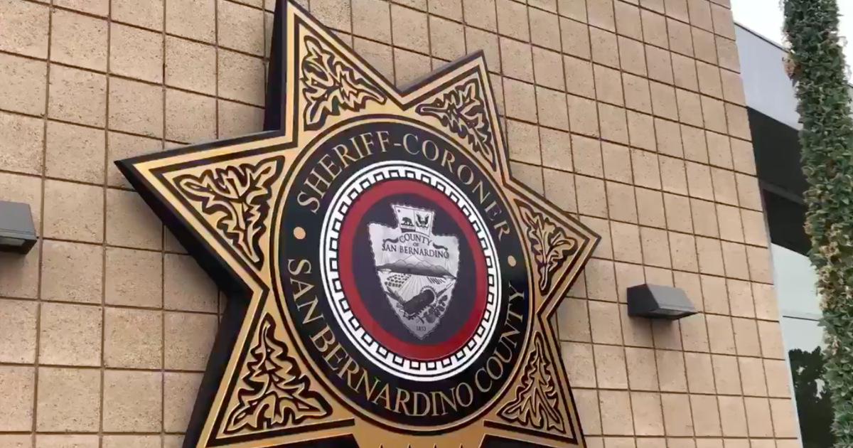
The San Bernardino County Sheriff's Department Thursday issued an evacuation order for Mountain Home Village, Oak Glen and Northeast Yucaipa due to the El Dorado Fire burn scar. Rain high up in the San Bernardino Mountains could melt the snowpack and trigger debris flows below, Cal Fire Capt. Richard Cordova told CBSLA Wednesday.
The Orange County Sheriff's Office issued an evacuation warning for residents in the Bond Fire burn area Thursday morning east of Irvine. The order effects homes in Silverado Canyon, Williams Canyon and Modjeska Canyon.
A winter storm warning will be in effect for the mountains from 3 p.m. Thursday to 3 p.m. Friday. Anywhere from 1 to 3 feet of snow is possible at elevations above 6,000 feet, with snow levels dropping to 4,500 feet.
A flash flood watch is in effect from 4 p.m. Thursday to 4 p.m. Friday for the Antelope, San Gabriel and Santa Clarita valleys. L.A. and Ventura counties will see anywhere from 1.5 to 3.5 inches of rain, and up to 5 inches of rain in the mountains.