Cold Storm Brings Rain, Snow To SoCal; Thunderstorms, Flooding, Mudflows Possible
LOS ANGELES (CBSLA) — A cold winter storm has arrived in Southern California, bringing rain, snow and possible thunderstorms, and the risk of flooding and mudflows in recent burn areas.
A winter storm warning is in effect in the San Gabriel Mountains until 4 a.m. Friday. Storm totals of 1 to 2 inches of rain are expected for the coasts and valleys, and 2 to 4 inches for the foothills and mountain communities, according to the National Weather Service.
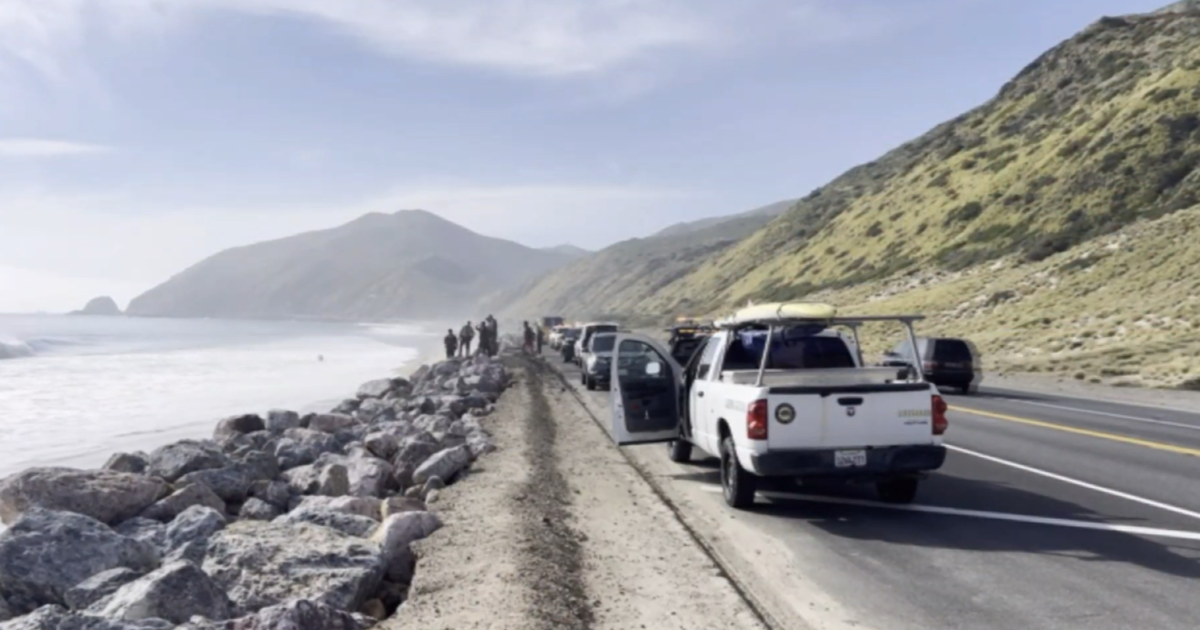
Steady rain is already falling in Ventura County and Santa Barbara County, where the Cave Fire continues to burn and crews are simultaneously working to clear debris basins in an effort to prevent mudslides. Santa Barbara residents below the Cave Fire burn area were warned to be ready to evacuate. Forecasters say periods of heavy rain could cause freeway flooding at lower elevations.
Sandbags are being distributed in recent burn areas like Santa Barbara and Moreno Valley. A flash flood watch is in force in Orange County from late Wednesday through Thursday night.
Snow could fall as low as 2,500 feet Wednesday night into Thanksgiving, complicating holiday travel through the Grapevine, which is expected to get as much as 3 to 6 inches of snow. Most mountain areas will get 6 to 12 inches of snow.
A winter storm warning for the Santa Ana Mountains is in effect until 10 p.m. Friday.
But that's not all. Forecasters also say wind gusts as high as 60 mph that are capable of blowing down trees and power lines are possible in the mountains and deserts. Isolated thunderstorms could also happen any time between Wednesday morning through Thursday night over SoCal coastal areas, which are under a beach hazards statement warning of waves as tall as 6 feet and dangerous rip currents. Forecasters say small hail and waterspouts are also a possibility.
"If you must travel, keep an extra flashlight, food and water in your vehicle in case of an emergency," the NWS said in a statement.