Rain Brings Relief To Crews Battling Cave Fire Near Santa Barbara, But Increases Risk Of Mudslides
SANTA BARBARA (CBSLA) – With the help of a powerful storm which began dumping rain over the region late Tuesday night, firefighters made good progress on the Cave Fire burning in the hills above Santa Barbara which had forced thousands of people to flee their homes. However, that rainfall has also brought a risk of debris flows and mudslides to burn areas.
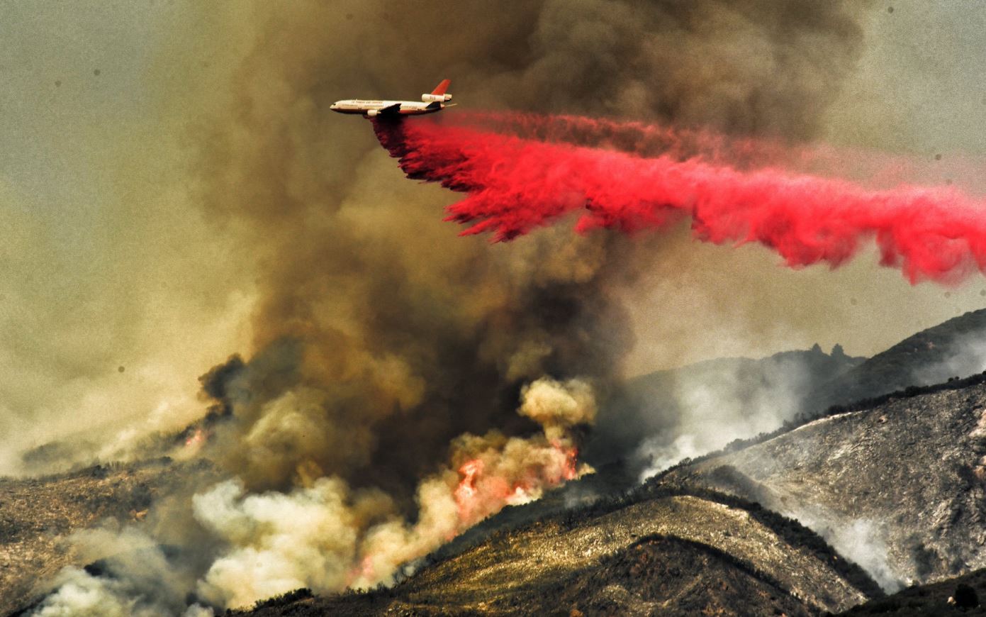
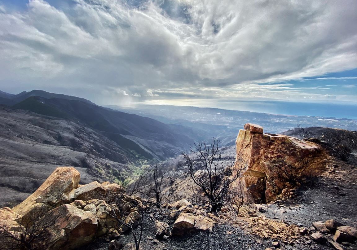
By 11:30 a.m. Wednesday, the Cave Fire had scorched 4,367 acres and was 20 percent contained, according to the Santa Barbara County Fire Department. No homes have been destroyed in the blaze and there were no injuries.
All evacuation orders were lifted just before 11 a.m.
SBCFD spokesman Mike Eliason reported on Twitter that the overnight rain had "significantly" helped firefighters and that the containment number was expected to grow Wednesday.
At the fire's height, 2,400 homes were threatened and 6,000 residents were evacuated. Despite the evacuation orders being lifted, however, Highway 154 remained closed from Cathedral Oaks Road and Highway 192 to Painted Cave Road.
The blaze broke out Monday at about 5 p.m. in the Santa Ynez Mountains area of Los Padres National Forest towards the top of San Marcos Pass, near Chumash Painted Cave State Historic Park. Strong winds pushed the Cave Fire toward homes in the foothills, where thousands were ordered to get out. It then jumped Highway 154, near the city limits of Santa Barbara.
While the rain has been good for the firefight, it has also created the risk of debris flows. On Tuesday night, the Santa Barbara County Sheriff's Office issued a debris flow evacuation warning for the area between Patterson Avenue/Anderson Lane and Ontare Road, and between the the 3500 and 3300 block of State Street down through Las Positas Road, and south of East Camino Cielo to the ocean.
"Public safety officials have determined that there is a risk for potential debris flows in and below the Cave Fire burn area," the sheriff's office said in a statement. "National Weather Service has predicted rainfall Tuesday evening into Wednesday morning, with isolated thunderstorms that can increase rainfall intensity. Residents are advised to prepare an evacuation kit and a plan to leave."
The Thomas, Sherpa, Alamo and Whittier burn areas could also see mudslides. The Thomas Fire, the second largest in state history, broke out in December 2017 and scorched 281,000 acres and destroyed more than 750 homes in Ventura and Santa Barbara counties. It set the stage for the deadly mudslides which hit the Santa Barbara County enclave of Montecito in January of 2018, when a storm triggered flash floods on hillsides ravaged by the Thomas Fire, killing at least 21 people, destroyed or damaged hundreds of homes, and shutting down the 101 Freeway for weeks.
Meanwhile, the stormy weather will continue through Thanksgiving. A winter storm warning remains in effect for the Santa Barbara County Mountains into early Friday morning. Snow levels could drop to 3,000 feet.
The cause of the Cave Fire remains under investigation.