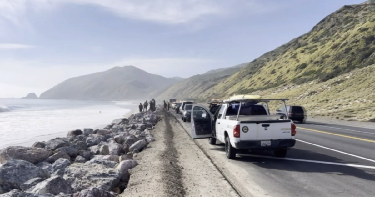
High Surf Expected Along Southern California Coast
LOS ANGELES (CBS/AP) — Heavy surf is expected along the Southern California coast Thursday, as the next wave in a series of storms heads toward the region.
Minor coastal flooding and beach erosion could occur when the surf is expected to peak at its highest level Thursday morning, according to the National Weather Service. The so-called King Tides occur twice a year, when the gravitational forces of the sun, Earth and a full moon align.
The weather service said waves could reach up to 15 feet on the Central Coast. Los Angeles County could see higher than normal surf of four to six feet.
Meanwhile, a slow-moving and potentially strong storm system is expected to move into Southern California Thursday night, packing high winds, heavy rain and possible thunderstorms, the weather service said.
Forecasters said the storm could drop one to two inches of rain in coastal and valley areas and three to six inches in the foothills and mountains through Saturday. Snow levels are expected to drop to 3,000 feet in Southern California mountains.
A storm that moved through Southern California early Wednesday triggered a rash of traffic accidents and forced firefighters to rescue three homeless men from an encampment in the suddenly rising Los Angeles River.
There were no reports of any immediate problems in the many areas across the region that lie near wildfire-scarred terrain, including Los Angeles' suburbs on the foothills of the steep San Gabriels, where the infamous Station Fire burned fiercely through the Angeles National Forest for weeks in 2009. The burn area -- more than 160,500 acres -- is expected to pose a risk of debris flows and mudslides to adjacent communities for years.
CBS2 Chief Meteorologist Josh Rubenstein says the weather will dry out by Sunday, but another storm system is expected to move in by Tuesday.
Southern California has enjoyed many days of dry, summerlike weather this year. Before rain moved in early Wednesday downtown Los Angeles had recorded only 0.79 inch of precipitation since Jan. 1. That was 4.51 inches below normal for the period. Twelve-month rainfall, however, is tallied from July 1 to June 30 and the region is above normal by that counting due to a rainy end to 2010. Downtown has recorded more than 12 inches since July 1, more than 3 inches above average to date.
(TM and © Copyright 2010 CBS Local Media, a division of CBS Radio Inc. and its relevant subsidiaries. CBS RADIO and EYE Logo TM and Copyright 2010 CBS Broadcasting Inc. Used under license. All Rights Reserved. This material may not be published, broadcast, rewritten, or redistributed. The Associated Press contributed to this report.)


