Pre-Evacuation Advisory Issued In Santa Barbara County Ahead Of Storm

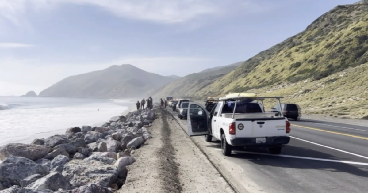
SANTA BARBARA (CBSLA) — In anticipation of the forecasted rainfall in Southern California next week, the County of Santa Barbara has issued a pre-evacuation advisory for burn areas affected by fires in 2017 and 2016.
"This is the time to prepare for evacuation within the next 72 hours for anyone who lives near a burn area in Santa Barbara County," the advisory read.
The areas mentioned are those below where the Thomas, Sherpa, Whittier and Alamo fires burned last year and the year prior.
The National Weather Service has forecast heavy rainfall from Tuesday to Thursday of next week.
Residents in burn areas in Santa Barbara and Ventura counties have been warned since the beginning of the month about possible flooding and mudslides.
The community of Montecito in Santa Barbara County is still reeling from the January 9 mudflows that killed over 20 people.
More information on the pre-evacuation order can be found at Ready Santa Barbara County.
Click here to view a map of the risk areas.