Local NASA Team's Satellite Technology, Maps Saving Countless Lives In Quake-Ravaged Nepal
PACIFIC PALISADES (CBSLA.com) — A local team at NASA is using the latest in satellite technology to assist with rescue efforts following last month's magnitude-7.8 quake in Nepal.
From a park bench near his home in the Pacific Palisades, NASA Scientist Frank Webb can pinpoint exactly where the massive earthquake caused buildings to collapse, even in the most remote areas.
"How much damage has there been? Where should we send relief efforts?" explained Webb, who said it's information that's critical to saving lives.
"It's very satisfying to have this job," said Webb, who is part of a team at the space agency using the state-of-the-art technology to create maps that identify locations where people could be trapped and areas vulnerable to avalanches or landslides.
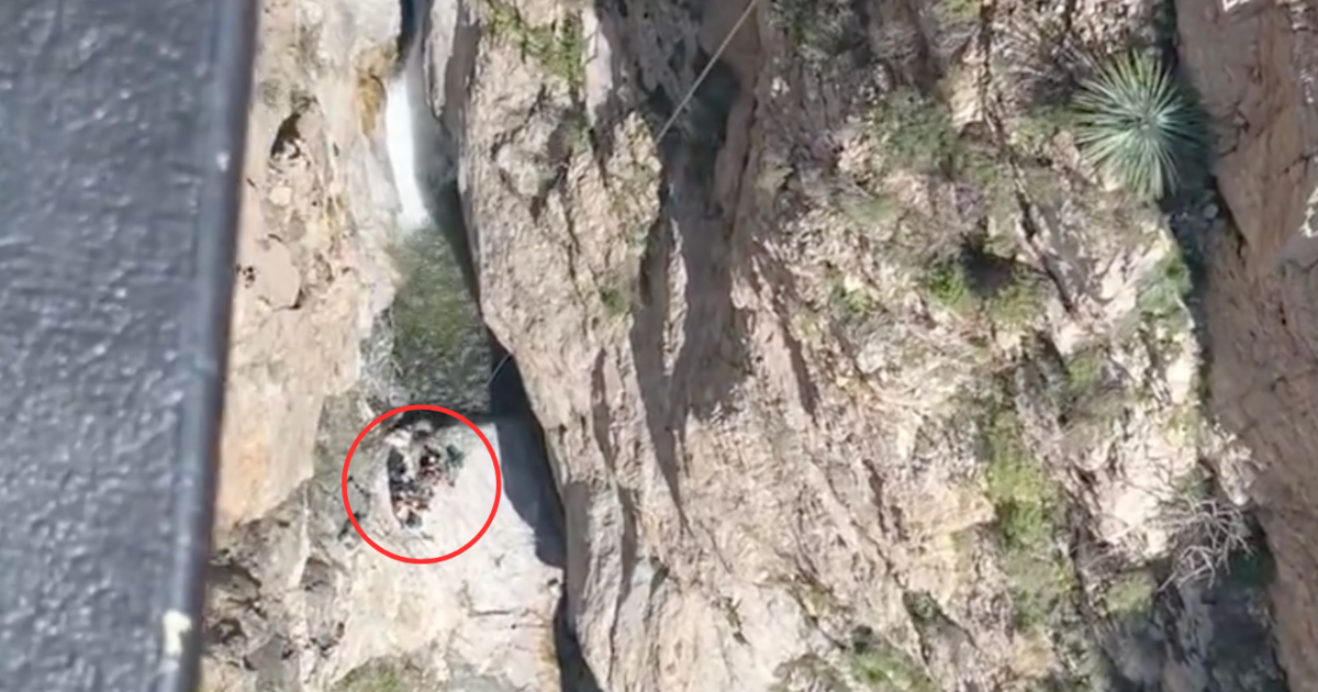
He says the remote sensing radar can detect people buried underneath 30-feet of rubble.
The information is then shared freely with Nepal's government and rescue groups.
"Instead of like going blind out looking for damaged buildings or damaged infrastructure, they have something that helps guide them," he said.
But beyond that, Webb says, the satellite data could have a big impact locally.
"These will be techniques and tools that we use to help us if there is a large earthquake in California or when there is one," he said.
Webb says he's heard from officials in Nepal and has been told the maps are very accurate and have been used to save countless lives.
The death toll from the April 25 quake continues to climb with 6,624 casualties last reported, according to the Associated Press.