Josh Rubenstein's Weather Forecast (Nov. 28)
STUDIO CITY (CBS) — A series of cold fronts moving through the West Coast will bring unsettled weather to the Southland from Wednesday until late Sunday.
The first cold front moves through this evening. We'll see some significant rainfall from Santa Barbara to points north. However, as the system rounds Point Conception, it loses its punch.
In the Los Angeles and Ventura counties, we can expect anywhere from .10" to .30". There is a southerly component to this system, so foothills of east-west mountain chains may pick up a little more rain, closer to .50" to or even .75".
While the bulk of the rain will end by tomorrow morning, the westerly pattern will keep a chance for a shower all weekend long.
On Friday, another weak front moves through and will diminish as it moves west (not expect much of anything from that).
By Sunday a third and final front moves through with the base of the trough and we have another chance for rain. It is likely to hit in the afternoon and evening for Los Angeles and Ventura counties.
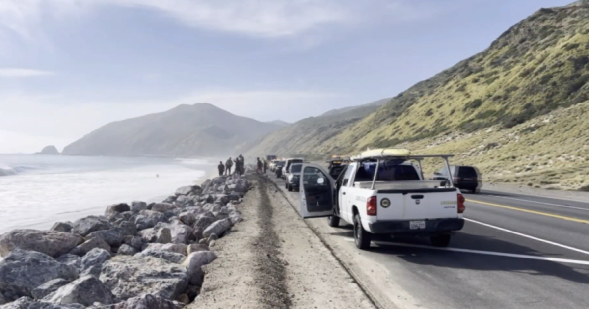
Snow will not be an issue with this system, as the levels are going to remain above 7,000 feet. Surf will be an issue, though. The folks up in Oxnard have issued a Heavy Surf Advisory for Los Angeles and Ventura from Thursday to Saturday.
The San Diego office still has a Coastal Flood Statement. I'm waiting for them to transition to a full-fledged advisory.
Be careful by the beach.
Coast-low to mid 60s
Basin-low to mid 60s
Valleys-mid 60s
Mountains-low 50s
Deserts-mid 60s