Josh Rubenstein's Weather Forecast (March 18)
STUDIO CITY (CBS) — While temperatures will dip below average today, it won't be a bad Friday with a mix of sunshine and clouds.
However, as we make our way into the weekend, the weather picture changes.
A vigorous low-pressure system is churning away to the Northwest of our area right now.
The first wave of energy moving through the area will be late tonight and tomorrow.
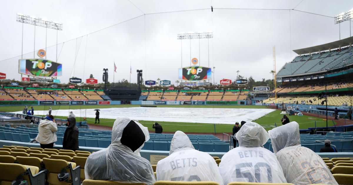
We can expect cooler temperatures into Saturday and more cloud cover, with the possibility of some light scattered showers.
The main cold front will hold off until late Sunday night. Sunday into Monday, we can expect four to six hours of moderate rainfall.
We will see a total of 1" in the flatlands and higher totals in the foothills. Temperatures will hover in the low 60s over the weekend.
Coastal - mid 60s
Basin - upper 60s
Valleys - low 70s
Deserts - mid 60s
Mountains - low 50s